We are part of —
Training in utility locators, GPR systems and software
Hands-on practice with equipment and data
Training from data acquisition to interpretation
We tailor the programme to the equipment, software and type of work. GPR Basic covers equipment preparation, data acquisition and basic interpretation. GPR Advanced covers parameter selection, processing, georeferencing and exporting results. Each course includes practice of the agreed workflow, from field surveying to clear documentation.
A. Software training
IDS GeoRadar
uNext
Acquisition and mapping of field data from compatible GPR systems.
Enquire about training
IDS GeoRadar
uMap
Surveying, positioning and preliminary data visualisation in the field.
Enquire about training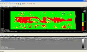
IDS GeoRadar
GRED HD
GPR data processing, interpretation and visualisation, including 2D and 3D workflows within the agreed modules.
Enquire about training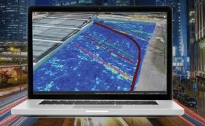
IDS GeoRadar
IQMaps
Advanced GPR data analysis, target management and preparation of results for further use.
Enquire about training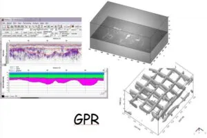
Sandmeier geophysical research
ReflexW
Modular GPR data processing and interpretation; we tailor the course to the modules included in your licence.
Enquire about trainingB. GPR technical training
GPR BASIC
- fundamentals of GPR and electromagnetic wave propagation,
- frequency, resolution versus depth, propagation velocity and dielectric constant,
- hyperbolas, basic data acquisition and interpretation,
- the most common survey errors.
GPR ADVANCED
- advanced data acquisition, parameter selection and georeferencing,
- filtering, migration and velocity analysis,
- 3D processing, time slices and multichannel systems,
- interpretation, CAD/GIS export and the workflow: survey → analysis → documentation.
C. Training on specific devices
Leica Geosystems
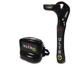
Leica ULTRA
Locating and tracing conductive underground utilities, cables and pipes.
Enquire about training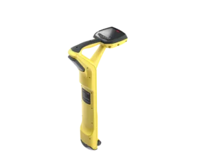
Leica Geosystems
Leica DT100
Precise tracing and mapping of underground infrastructure, including use with the DE100 transmitter.
Enquire about training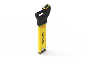
Leica Geosystems
Leica DD120
Basic locating of cables and conductive utilities before earthworks.
Enquire about training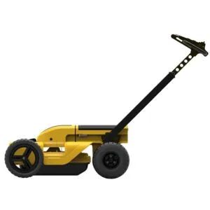
Leica Geosystems
Leica DS2000
GPR for locating underground infrastructure, including non-conductive targets.
Enquire about training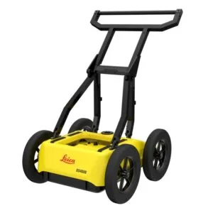
Leica Geosystems
Leica DS4000
Dual-channel GPR for utility mapping and working in complex environments.
Enquire about training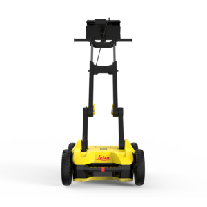
Leica Geosystems
Leica DSX
Detection and mapping of underground infrastructure with a structured documentation workflow.
Enquire about training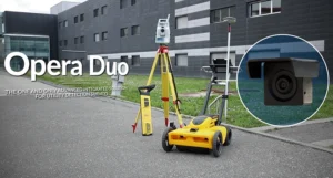
IDS GeoRadar
Opera Duo
Dual-frequency utility detection and mapping with the predecessor to the Opera XR range.
Enquire about training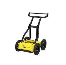
IDS GeoRadar
Opera XR
Compact system with two antennas for rapid detection and documentation of underground infrastructure.
Enquire about training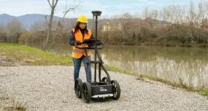
IDS GeoRadar
Chaser XR
Versatile GPR for subsurface profiling in geophysical, archaeological and environmental investigations.
Enquire about training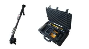
IDS GeoRadar
C-thrue
Concrete scanning to locate reinforcement, cables, voids and other targets before drilling or cutting.
Enquire about training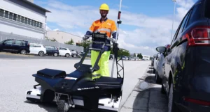
IDS GeoRadar
Stream C
Compact multichannel system for real-time 3D mapping of underground infrastructure.
Enquire about training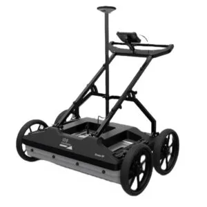
IDS GeoRadar
Stream DP
High-productivity multichannel utility mapping in two polarisations.
Enquire about training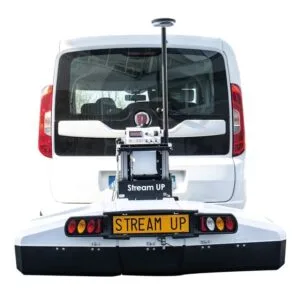
IDS GeoRadar
Stream UP
Rapid vehicle-based mapping of underground infrastructure.
Enquire about training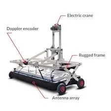
IDS GeoRadar
Stream X
Large-area multichannel 3D mapping of the subsurface and underground utilities.
Enquire about training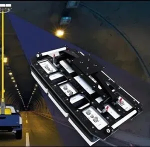
IDS GeoRadar
Stream T
Contactless GPR inspection of tunnels and large structural surfaces.
Enquire about training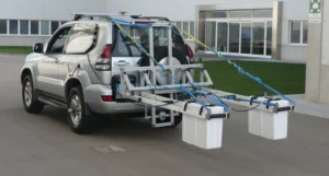
IDS GeoRadar
RIS Hi-Pave
Rapid assessment of road and airfield pavement layers.
Enquire about training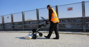
IDS GeoRadar
RIS Hi-BrigHT
Multichannel GPR surveys of bridges and structures within a specialist workflow.
Enquire about trainingTraining tailored to your needs
Training can cover a specific device, software package, data type or the entire workflow from surveying to reporting. We agree the dates, location and scope individually.
Post-training support
We can help you choose a configuration, organise your workflow and resolve issues that arise during your first independent projects.